

UPDATED 8/31 8:39 a.m.
Saturday’s 8 a.m. National Hurricane Center update on Hurricane Dorian is in, and a NOAA Hurricane Hunter plane has indicated that winds within the Category 4 storm have increased to 145 mph — but things are looking better for the Tampa Bay area, which is almost out of the “cone of uncertainty.”
“Hurricane-force winds extend outward up to 30 miles from the center and tropical-storm-force winds extend outward up to 105 miles,” the NHC wrote in its public advisory. A Hurricane warning is in effect for the northwestern Bahamas where the current track puts the eye of the storm today.
The NHC says the eye will be near the Florida east coast late Monday, which is different from previous tracks that put the storm more directly over the state. Still, the NHC advises Floridians to remain cautious.
“It should be stressed that the new forecast track does not preclude Dorian making landfall on the Florida coast, as large portions of the coast remain in the track cone of uncertainty,” the NHC wrote.
8/31 8 AM EDT: There's been a notable change overnight to the forecast of #Dorian after Tuesday. It should be stressed that the new forecast track does not preclude Dorian making landfall on the Florida coast, as large portions of the coast remain in the track cone of uncertainty pic.twitter.com/GSds0bKunM
— National Hurricane Center (@NHC_Atlantic) August 31, 2019
“Interests in southern and central Florida should continue to monitor the progress of Dorian,” the NHC added. “Watches may be required for portions of the east coast of Florida later today.”
We’re waiting to hear from Florida Gov. RonDeSantis, who took precaution and declared a state of emergency for all of Florida on Friday morning.
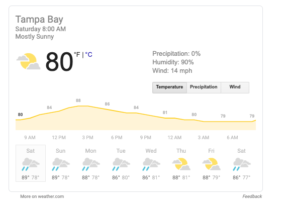
A weather.com report shows a 0% chance of rain for Tampa Bay on Saturday morning (with rain chances increasing to 40% by the afternoon).
Follow @cl_tampabay on Twitter to get the most up-to-date news + views. Subscribe to our newsletter, too.
